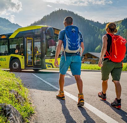
The Lech Cycle Path
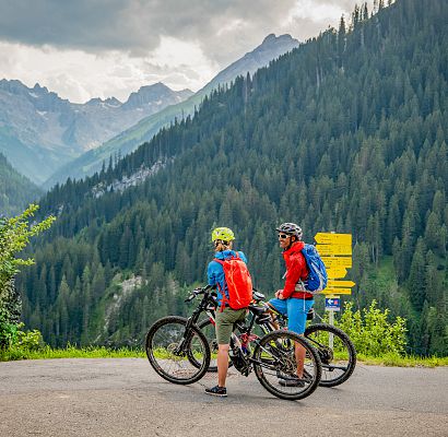
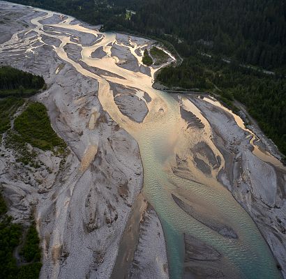
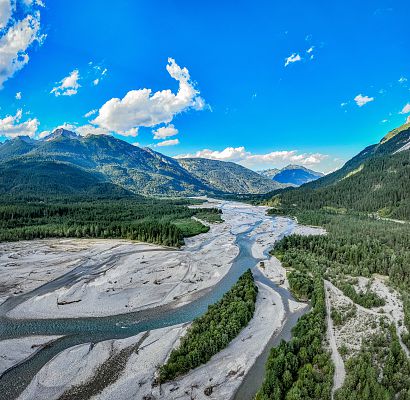
The Lechradweg is considered one of the most beautiful cycling routes in Tyrol and runs along the wild and romantic Lech - one of the last wild rivers in the northern Alps. The bike route is suitable for all cyclists, as it is mostly flat and on a well-maintained bike path.
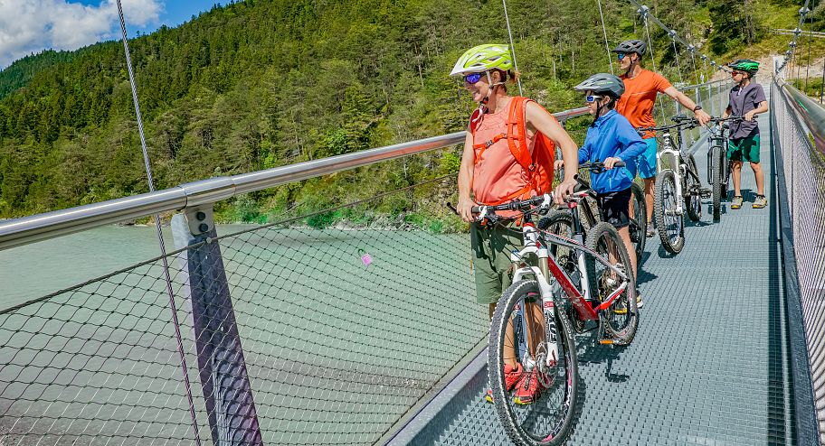
Cycling along the long distance cycle path
Wise lech, mature lech, wild lech
On a total length of 244 km, ambitious cyclists can even accompany the Lech River on its journey from its mouth into the Danube, near Marxheim in Bavaria, to the Lech Valley in Tyrol. With the Lech as their companion, cyclists embark on a journey through life, exploring a wide variety of landscape formations in 3 stages of life and a total of 5 stages - from the urban city, back to the source of the Lech.
As varied as the landscape along the Lechradweg is, all regions along the Lech have one thing in common - the wild river has shaped them all in its own unique way.
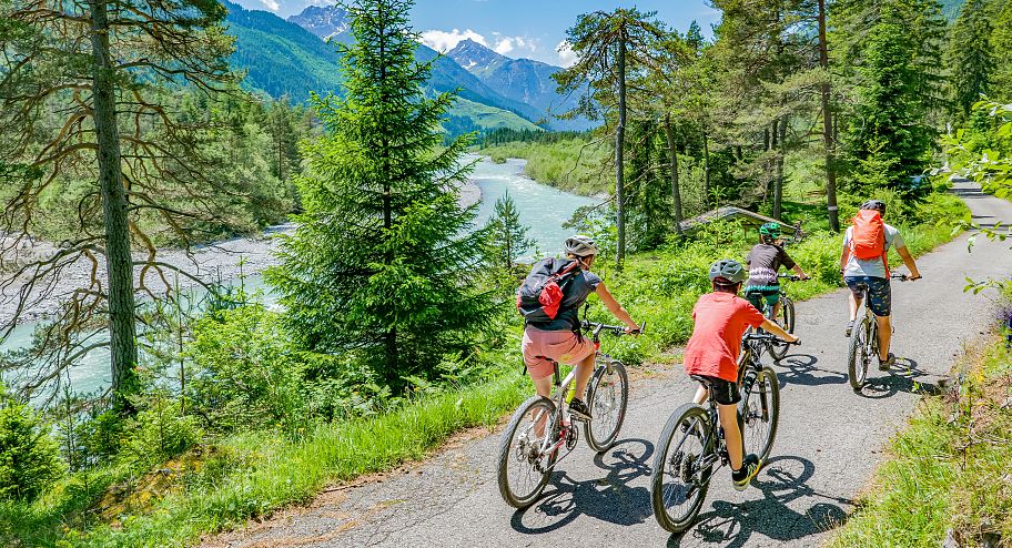
The Lech Cycle Path in the Lech Valley
Cyclists enjoy the unspoiled and pristine nature of the Lech Valley, especially on the Lech Valley stage between Weißenbach and Steeg. On about 52 km, the last Lechradweg stage leads past picturesque villages, idyllic forests and Lech floodplains.
The Lechradweg in the Lech Valley offers both families and ambitious cyclists the opportunity to experience the beauty of Tyrol on a bike.
Along the way, there are numerous rest stops and places to stop for refreshments and to enjoy the scenery. The bike path signage along the entire route is well developed, so you can easily find your way. The Lechradweg is therefore a perfect way to explore the Lech Valley in a sporty and at the same time relaxed way.
